Dredging Bathymetric Survey
Client—U.S. Gypsum, Rainier, Oregon
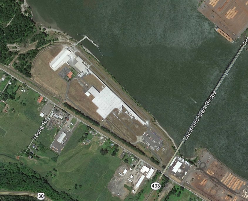
U.S. Gypsum hired Gibbs & Olson to perform two bathymetric surveys for dredging purposes. The project area was along a portion of the Columbia River riverward and landward of the U.S. Gypsum dock and the projects limits measured 2,250 feet by 550 feet. The first survey was provided to the dredging company in Oregon State Plane North Zone Coordinates (NAD83/2011) and elevations were converted from NAVD88 to requested Columbia River Datum. The second survey was utilized to calculate the volume of material removed during the dredging operation. Final deliverables included an AutoCAD drawing file with surface models. U.S. Gypsum utilized the AutoCAD file to perform the volume calculations.


